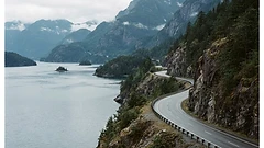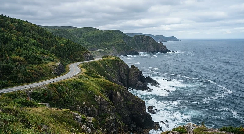
The Cabot Trail loops through Cape Breton Highlands National Park, climbing from sea level to the highland plateau and dropping back to fishing villages on both coasts. Expect moose on the road, whales offshore and Acadian, Scottish and Mi'kmaq culture in every harbour. Drive it counter-clockwise so the ocean is on your side.
Flying in? This route starts in Halifax — pick up wheels at the airport.
Rent a Car in HalifaxBest Time to Drive
June to October; peak colour is early October.
How Many Days
2-3 days minimum to drive it slowly.
Where to Stay
Baddeck, Ingonish or Cheticamp to break the loop.
Drive this route
A rental car, stops to sleep and roadside cover.
The route, stop by stop
- 1
Baddeck
StartBegin on the shore of the Bras d'Or Lakes — a sailing village and home of the Alexander Graham Bell museum.
- 2
Cape Smokey
35 kmThe road switchbacks up Cape Smokey for the route's first big ocean panorama.
- 3
Cape Breton Highlands & Skyline Trail
90 kmThe highland plateau opens up — moose graze in roadside bogs and the Skyline Trail drops to a headland cliff.
- 4
Ingonish Beach
120 kmA sweeping sand crescent inside the national park with tidal pools and warm-ish swimming.
- 5
Cheticamp
200 kmAcadian fishing harbour and the park's western entrance — hooked-rug galleries and fresh lobster.
- 6
Margaree Harbour
260 kmSalmon rivers, Celtic music halls and the Margaree Valley on the gentle run back.